
It rained. It poured. For weeks.But the Gulf Coast may have escaped August without a single hurricane pounding its shores – a benchmark that is almost unheard of.However, meteorologists are …
This item is available in full to subscribers.
Please log in to continue |
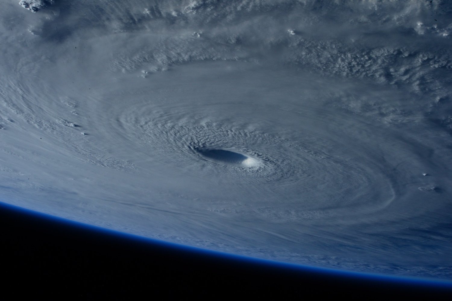
It rained. It poured. For weeks.
But the Gulf Coast may have escaped August without a single hurricane pounding its shores – a benchmark that is almost unheard of.
However, meteorologists are reminding residents to stay vigilant as we enter what is historically the most active part of hurricane season.
Over the weekend two areas of interest turned to four as conditions in the Atlantic became more inviting to hurricanes. No impacts are expected on the U.S. coast over Labor Day weekend.
"We are moving into the peak of the season and we're starting to see more areas of potential formation," said Caitlin Ford, a meteorologist with the National Weather Service in Mobile. "We always want to remind people to stay alert, have a plan and make sure they are prepared."
This week marks 17 years since Hurricane Katrina, one of the most deadly and destructive Category 3 hurricanes to make landfall in the U.S., rolled ashore in Louisiana. Communities there are also marking the one-year anniversary this week of Hurricane Ida, a destructive Category 4 storm.
The most destructive and record setting storms - Camille, Hugo, Andrew, Katrina, Ida – they all slammed ashore as summer turned to fall.
The National Hurricane Center continues to predict a more active than usual storm season with 14 to 21 named storms. So far two tropical storms (Bonnie and Colin) have formed. Bonnie moved across Central America and Colin was near the Carolina coast.
During the summer, strong windshear across the Atlantic and sand moving across Africa and into the water has made it difficult for storms to gain momentum.
As those conditions deteriorate the chance of storms increases.
"With those conditions kind of tapering off we could definitely see activity pick up more and we are seeing in the Atlantic four potential areas of development," Ford said.
The four areas of concern that forecasters at the National Hurricane Center in Miami are now watching are spread across the Caribbean and the Atlantic.
One area of low pressure in the central Atlantic is producing near-gale force winds and has increased to a high likelihood (70 percent) of development over the next five days. Officials expect the system to turn into a tropical depression later in the week.
Currently meteorologists are asking residents on the Yucatan Peninsula and the Caribbean to remain vigilant as those areas organize and potentially develop over the next five days.
To learn more about hurricane preparedness, read Gulf Coast Media's Stay Alert 2022 preparedness guide, or visit National Hurricane Preparedness | National Oceanic and Atmospheric Administration (noaa.gov).


